Category: Places

  • Acuecuexco Aqueduct to Tenochtitlan

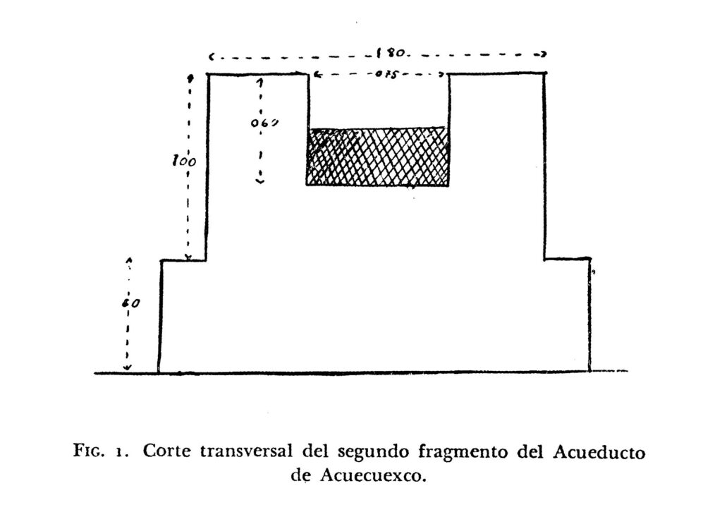
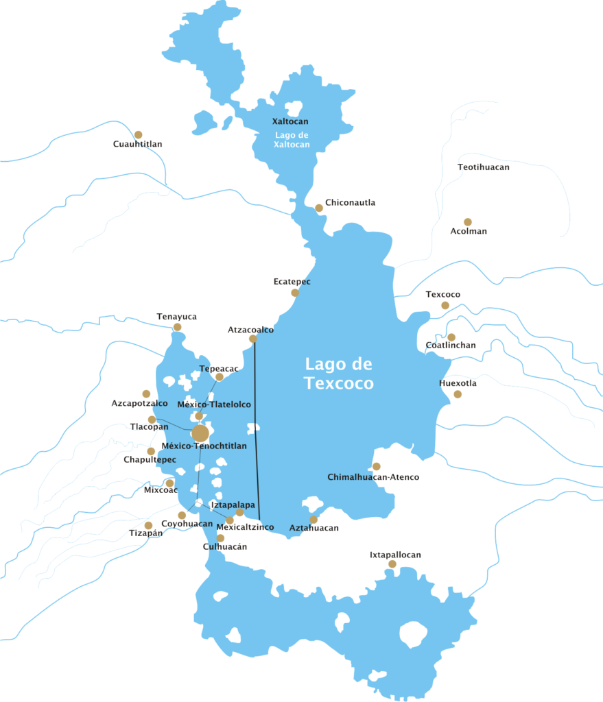
    In the Churubusco neighborhood of Coyoacan there were a number of springs that watered the indigenous communities there. Tenochtitlan’s Tlatoani Ahuitzotl, in a desire to feed his growing city, asked to use the water from Coyoacan, and the Acuecuexco spring, among others. Tzutzuman, ruler of Coyoacan, advised against an aqueduct into the city, that it might cause a flood, according to Duran. Whether it was unwanted advice or just the refusal to grant permission to the water, it’s not totally clear, but it seems Ahuitzotl had Tzutzuman killed.

    Aqueduct Acuecuexco Diagram
    Aqueduct Acuecuexco Diagram
    (more…)
  • Tlatelolco Aqueduct and the Spring of Xancopinca

    The aqueduct that fed Tlatelolco for hundreds of years originated at a mystical pool called Xancopinca, east of Atzcapozalco on the western shore of Lake Xochimilco. The aqueduct dates at least to the reign of Tezozomoc of Azcapotzalco, from 1370 to 1426.

    Spring of Xancopinca shown in the Tira de Tepechpan.

    (more…)
  • The Rulers of Tlacopan (Tacuba)

    Glyph for the altepetl, or city, of Tlacopan.

    What is today known as the Aztec Empire could be variously described as a cultural group of Nahuatl-speaking people, or as the political entity that ruled the majority of Nahua people, called the Triple Alliance. The Triple Alliance, in 1519, was made up of three “altepetls,” or something like city-states.These were the island city of Tenochtitlan, led by the famous Moctezuma; Tlacopan and Texcoco. Together these three altepetls shared the burden and bounty of their efforts.

    Aculnahuacatl

    The First Ruler of Tlacopan (1400-1430)

    Installed as the ruler by his father Tezozomoc of Azcapotzalco, he is considered the first Tlatoani of Tlacopan, ruler of the Tepanec people. I only found one citation in Diego Duran, which describes his efforts in driving the Mexica tribe out of Tepanec lands to the West of Lake Texcoco. He is apparently the founder of the Tepanec nation centered in Tlacopan. Apparently the historian Chimalpahin lists his lineage and some other details.

    (more…)
  • Detailed Map of the Spanish Conquest

    I have compiled a very detailed map of locations and events related to the Conquest of Mexico. Each point is referenced in one of the major texts documenting the events of Hernan Cortes‘s invasion and destruction of the Aztec Empire.

    Each layer of the map groups different events or places. I have tried my best to compare historical documents to archaeological research to get the best idea of how and where things happened.

    Illustrated map of the route of Hernan Cortes.
    Illustrated map of the route of Hernan Cortes.
    Graphic map of Lake Texcoco, including Tenochtitlan.
    Graphic map of Lake Texcoco, including Tenochtitlan.
    Map of Tenochtitlan overlayed on modern map.
    Map of Tenochtitlan overlayed on modern map.